
Himamaylan city
About Himamaylan city
Key Features
More Details
Updated April 16, 2024
## Himamaylan City, Negros Occidental: a practical, reality-based guide (with what’s worth your time)
If you’ve got Himamaylan City on your map, you’re likely doing Negros Occidental beyond the obvious: not just Bacolod and beach-hopping, but the southwestern corridor where day trips turn into slower travel. Himamaylan is a component city in Negros Occidental.
The pin you provided — 10.1432806, 122.8641489 — drops you in/near the city area, but the “address” (4VV7+8M6) is a Plus Code, not a conventional street address. That’s normal in parts of the Philippines where exact addressing can be inconsistent; use the coordinates in navigation when possible.
—
## Quick facts you can rely on
– Official name: City of Himamaylan
– Province / region: Negros Occidental, Philippines
– Cityhood: Converted from municipality to a component city via Republic Act No. 9028 (dated March 5, 2001).
– Population:
– 116,240 (2020 Census) Population
– 117,286 (2024 Census figure reported by CityPopulation, citing PSA) Population
– Historic note (documented locally): Himamaylan served as the capital of Negros in 1795 under Spanish administration.
—
## Where Himamaylan sits in a Negros itinerary
Himamaylan is positioned to work as:
– a stopover between Bacolod and Negros Occidental’s southern/coastal areas, or
– a base if you want waterfalls/eco-parks and local history without committing to a bigger city schedule.
One useful, verifiable metric: Bacolod City to Himamaylan is ~74 km by road, and Rome2rio lists travel time around ~1h 14m by car (pricing varies and should be treated as volatile).
—
## How to get to Himamaylan (and what’s likely to change)
### By road from Bacolod
Rome2rio reports:
– Road distance: about 74.4 km
– Typical drive time: about 1h 14m
Reality check: fares and schedules change often (fuel prices, operators, seasonal demand). Treat any specific peso amounts on aggregator sites as “directional,” not definitive.
### From Bacolod–Silay Airport (BCD)
Rome2rio lists:
– Road distance: about 91.7 km
– Drive time: about ~1h 30m
—
## What to do in Himamaylan: concrete leads (without pretending it’s a theme park)
Because “must-see” lists get spammy fast, here are things that are at least externally documented—and how to use them intelligently.
### Nature: waterfalls, caves, eco-parks (as listed by major travel directories)
Tripadvisor’s Himamaylan page lists:
– Mag-aso Falls
– Mandayao Falls
– Panligawan Cave
– Balicaocao Eco Park
How to interpret this: These are directory listings, not guarantees of access conditions, trail status, or transport ease. Use them as “what exists,” then confirm locally (or with current map reviews) before you burn a day.
### Local history: Himamaylan’s Spanish-period legacy
The city government history materials explicitly describe Himamaylan’s Spanish-era role (including the 1795 capital reference).
If you care about context (not just photo stops), this matters: it ties Himamaylan to Negros’ colonial administrative history, not only plantation-era narratives that dominate many Negros summaries.
### Festival timing (useful if you’re building a trip around events)
Multiple local write-ups and Wikipedia commonly cite the Himaya-an Festival around April 14–25. of Himamaylan
Outdated-data flag: several of the pages that repeat these dates are older blog/WordPress posts (nearly a decade old in some cases). The festival may still exist, but specific schedules and programming should be verified for the current year via recent announcements. of Himamaylan
—
## Practical logistics that improve the trip (without guessing specifics)
### Use coordinates over “addresses”
You already have reliable coordinates (10.1432806, 122.8641489). In places where:
– streets are inconsistently labeled,
– pins drift, or
– businesses change names,
coordinates are your friend. Save the pin offline before you move—especially if you’re switching between SIMs.
### Accessibility and mobility notes (what’s safe to assume)
I can’t truthfully claim which specific sites are step-free or wheelchair-friendly without current, on-the-ground confirmation. What is safe and useful:
– Waterfalls and caves often require uneven paths, steps, or slippery rock.
– If someone in your group has mobility limitations, treat nature sites as case-by-case and confirm on recent map reviews the same week you go.
### Safety and inclusivity
Himamaylan is a normal working city; don’t treat it like a resort bubble. Standard good practice applies anywhere:
– keep valuables low-profile,
– plan daylight travel when possible,
– respect local norms (religion, dress, photography etiquette).
That’s not “fear,” it’s basic competence.
—
## Two internal links you can add (contextual, not forced)
I don’t know your existing RealJourneyTravels.com URL structure, so here are editorially natural internal-link opportunities you can wire to whatever you already have:
1. “Bacolod City” (for transport context + where most travelers start)
2. “Negros Occidental travel guide” (to cluster Himamaylan into a topical hub with other cities/waterfalls/beaches)
If you already have content on southern Negros beach towns, a third optional link would be a Sipalay guide—but only if it’s live and genuinely helpful.
—
## Data quality notes (so you don’t publish something that ages badly)
– Population: 2020 and 2024 figures differ slightly; that’s expected. If you publish a number, attach the year (e.g., “116,240 in 2020”). Population
– Festival dates: widely repeated, but many sources are old. Confirm for the current year before publishing a “plan your trip around it” angle. of Himamaylan
– Transport prices and times: aggregators are snapshots. Keep times, but avoid hard fares unless you re-check right before publishing.
—
## Bottom line
Himamaylan City is best treated as a strategic stop/base in Negros Occidental rather than a single “attraction.” It has documented historical weight, sits within practical reach of Bacolod by road, and has nature sites that show up consistently in major directories—meaning there’s real material here if you do minimal verification locally.
Table of Contents
Key Highlights
Himamaylan city
Location
Places to Stay Near Himamaylan city
Find and Book a Tour
Explore More Travel Guides
No reviews found! Be the first to review!
Traveler Reviews for Himamaylan city
There are no reviews yet. Be the first one to write one.
Have you visited Himamaylan city? Help other travelers by sharing your review.
You Might Also Like
Lourdes Falls
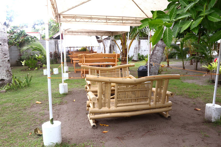
AQUATICO BEACH RESORT
Bugoy Spring Water Source
Find Accommodations Nearby
Recommended Tours & Activities
Visitor Reviews
There are no reviews yet. Be the first one to write one.
Share Your Experience
Have you visited Himamaylan city? Help other travelers by leaving a review.