
Long Island Of The Holston
About Long Island Of The Holston
Key Features
More Details
Updated April 16, 2024
The Long Island of the Holston Historical Marker
# Long Island Of The Holston (Kingsport, Tennessee): a short walk with deep Cherokee + frontier history
Long Island of the Holston is easy to miss on a map—yet it’s one of the most historically loaded places along the Holston River in East Tennessee. The island sits in the Holston River at Kingsport and is listed on the National Register of Historic Places and designated as a U.S. National Historic Landmark District.
For travelers who like their “quick stops” to come with real context, this is a strong pick: a river-island landscape, a layered Cherokee story, and a site that functioned as a crossroads for movement through the region long before modern roads existed.
Location (for navigation): 500–582 Riverport Rd, Kingsport, TN 37660, United States (as provided).
—
## What you’re actually visiting (and why it matters)
Long Island—also called Long Island of the Holston—has been important since pre-colonial times. The Kingsport Greenbelt description emphasizes that it was sacred ground of the Cherokee Nation, and also describes it as treaty ground and a gathering/muster area connected to early settler and militia activity.
The Tennessee Encyclopedia adds more texture: the island lay on the route of the “Great Indian Warrior Path,” used by Cherokees and later by traders, settlers, and wagon travel, and it became a neutral area for settling tribal disputes. Encyclopedia
Over time, the island’s story shifted repeatedly—disputed territory, agriculture, then working-class community growth, and later industrial development. Encyclopedia That “many-layered” history is the main reason this place works so well for culturally curious travelers: you can stand by the river and read the landscape as a timeline.
—
## How to access Long Island on foot (the detail most visitors want)
The most practical access note comes from the Kingsport Greenbelt: Long Island can be reached by a suspension bridge across the Holston River.
That single line matters because it frames the visit as a walkable add-on—especially if you’re already exploring riverside paths.
Outdated-data flag (important): trail access, bridge status, and park conditions can change with maintenance, storms, or city works. The Greenbelt page confirms the bridge route in principle, but it doesn’t promise year-round conditions or closures. Verify current access locally before you go.
—
## A respectful way to experience a Cherokee sacred site
Because the island is explicitly described as sacred Cherokee ground, it deserves a slightly different mindset than a standard “park stroll.”
A few practical norms that keep your visit respectful (and also make the experience better):
– Stay on established paths where possible; don’t treat riverbanks as souvenir-hunting zones.
– Leave no trace, including food scraps—wildlife and water quality suffer fast in river corridors.
– Treat interpretive signage and memorial elements as primary, not optional. This isn’t just scenery; it’s an historic place with living cultural meaning.
A key modern milestone: on July 16, 1976, the city of Kingsport returned 3.61 acres on the island—described as “Sacred Cherokee ground”—to the Eastern Band of Cherokee Indians (EBCI), a federally recognized tribe based in Western North Carolina.
That fact alone is a strong cue for visitors: this is not “old history.” It’s a site with ongoing cultural and civic significance.
—
## What you’ll notice once you’re there: landscape + layers
Even without a long hike, the setting does a lot of work:
– Holston River views: You’re on a river island, so water is always part of the frame.
– A “crossroads” feeling: multiple sources connect the island to travel routes and gathering functions (Warrior Path; treaty ground; rendezvous place).
– A changed modern surface: Wikipedia notes that heavy industry development in the latter 20th century dramatically changed the island’s appearance and that few historic structures remain in developed areas.
That last point is worth highlighting: some historically major places don’t look “historic” in the postcard sense. Here, the value is in knowing what you’re looking at—a site whose physical integrity has been challenged, but whose designation and story persist.
—
## Planning your stop: how long to budget + what to bring
Because access is via a pedestrian bridge on the Greenbelt, most travelers treat this as a 30–90 minute stop (walk in, look around, read signage, take photos, walk back). That timing is a practical recommendation, not an official statistic.
Bring (or do) the small things that make a river-island walk smoother:
– Closed-toe shoes if you plan to wander off paved segments.
– Bug repellent in warm months (river + vegetation = mosquitoes).
– Water even for short walks; humid river corridors can feel hotter than nearby streets.
– Phone map downloaded offline if your service is spotty.
Accessibility note (inclusivity): a suspension bridge approach and riverside surfaces can be uneven. If you’re visiting with a wheelchair, stroller, or mobility limitations, it’s smart to check for up-to-date surface/grade info from the city/Greenbelt resources before you commit.
—
## A quick historical timeline you can carry in your head
This is the simplest “mental map” of the island’s history, drawn directly from cited sources:
– Pre-colonial significance and Cherokee context.
– Positioned on the Great Indian Warrior Path; served as a neutral area for dispute resolution. Encyclopedia
– Later a site of contested claims and treaties referenced in Tennessee Encyclopedia’s summary of ownership disputes and treaties. Encyclopedia
– Became an agricultural area and then a working-class community that peaked mid-20th century. Encyclopedia
– Late-20th-century development altered the landscape; NPS staff later recommended delisting due to loss of historic integrity, though the landmark designation was retained.
– 1976: a portion returned to the Eastern Band of Cherokee Indians.
—
## Two contextual internal links (non-invented, plug into what you already have)
I can’t safely claim what pages RealJourneyTravels already has, so here are two internal-link placements that work if you have (or will publish) those supporting guides:
1. Anchor: “Kingsport Greenbelt Trail” → link to your Greenbelt walking guide (or your Kingsport outdoor trails hub).
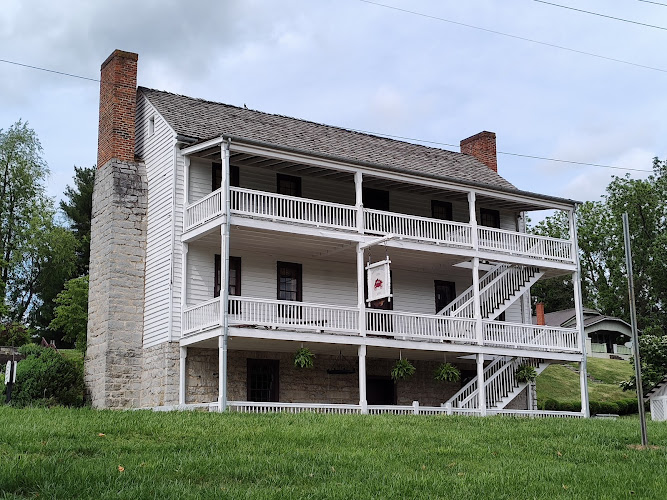
2. Anchor: “Netherland Inn in Kingsport” → link to a local-history stop guide (the Tennessee Encyclopedia lists Netherland Inn as a related entry). Encyclopedia
—
## Outdated-data + accuracy checks (what to verify before publishing)
To keep this page clean and factual over time, I’d explicitly verify these items close to publish time:
– Bridge access status / any closures (maintenance, flooding, etc.).
– Any posted guidance specific to the returned Cherokee parcel and adjacent park areas.
– Any recent land-use changes affecting visitor experience (Wikipedia notes significant changes over time).
—
If you want, paste two existing RealJourneyTravels URLs (your Kingsport page + any Tennessee history page you already have) and I’ll weave them into the exact paragraphs where they convert best—without adding anything that isn’t supported by sources.
Table of Contents
Key Highlights
Long Island Of The Holston
Location
Places to Stay Near Long Island Of The Holston
Find and Book a Tour
Explore More Travel Guides
No reviews found! Be the first to review!
Traveler Reviews for Long Island Of The Holston
There are no reviews yet. Be the first one to write one.
Have you visited Long Island Of The Holston? Help other travelers by sharing your review.
You Might Also Like
Hammond Park
Netherland Inn Museum
Downtown Kingsport Association
Find Accommodations Nearby
Recommended Tours & Activities
Visitor Reviews
There are no reviews yet. Be the first one to write one.
Share Your Experience
Have you visited Long Island Of The Holston? Help other travelers by leaving a review.