Kamakwa
About Kamakwa
Key Features
More Details
Updated April 16, 2024
## Kamakwa, Nyeri, Kenya: What It Is, Where It Sits, and How to Plan a Practical Visit
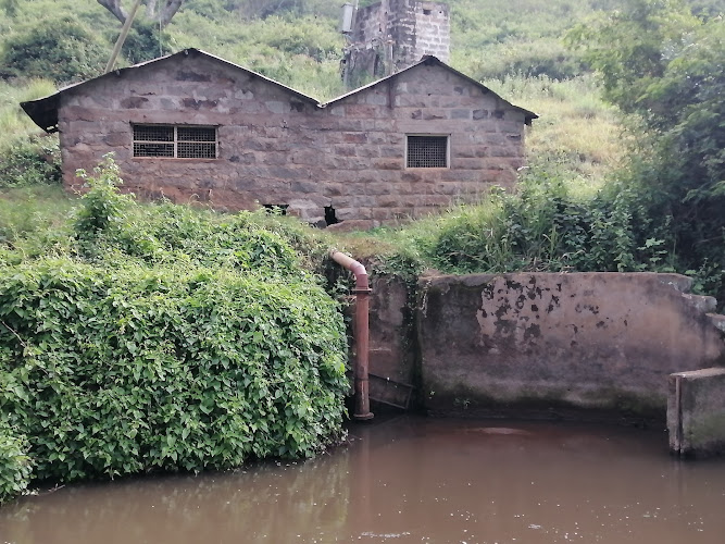
Kamakwa is a named place in Nyeri County, Kenya, identified in geographic datasets as a market (a place where goods are bought and sold at regular intervals) at approximately -0.43333, 36.9.
Those same references place Kamakwa at an elevation of about 1,978 meters above sea level.
You’ll also see “Kamakwa/Mukaro” used in an administrative context: Kamakwa/Mukaro is a ward of Nyeri Town (sub-county/constituency context) in Nyeri County. This matters because “Kamakwa” can refer to the local area/estate and its market, while “Kamakwa/Mukaro” is how you’ll encounter it in county-government planning, ward projects, and civic information.
### Quick facts you can plan around (no guesswork)
– Coordinates (given for this post): -0.4334946, 36.9352971
– Common dataset coordinates for “Kamakwa” (market feature): about -0.43333, 36.9
– Administrative unit referenced online: Kamakwa/Mukaro Ward (Nyeri Town)
– Elevation (market feature listing): ~1,978 m
– Climate classification shown in a geographic listing: Köppen Cfb (temperate oceanic)
Because your pin’s longitude is 36.9353 (slightly east of the rounded 36.9), it’s best to treat Kamakwa as a broader locality label rather than a single point. In practice: use the coordinates for navigation, but use “Kamakwa” + “Nyeri” when asking for directions or transport.
—
## Where Kamakwa fits within Nyeri County
Nyeri County’s capital and largest town is Nyeri, and the county is in Kenya’s Mount Kenya region.
So when you plan “Kamakwa,” you’re effectively planning a Nyeri-area stop—often easiest as a short hop from Nyeri town logistics (transport, supplies, banking, etc.), then out to Kamakwa for whatever your purpose is (market visit, meeting someone, a local errand, or exploring the immediate area).
Outdated-data flag: Nyeri County population figures commonly quoted online are from Kenya’s 2019 census; treat any population stat as historical unless a source explicitly states a newer census.
—
## What you can realistically do in Kamakwa (based on what’s verifiable)
### 1) Visit the market area (Kamakwa as a “market” place-name)
If your goal is to experience Kamakwa as a place (rather than just passing through), the most concrete anchor is the market identification in datasets.
That doesn’t tell you stall schedules or peak days (those change and vary), but it does tell you what “Kamakwa” is commonly mapped as: a trading point rather than a single monument or museum.
Practical planning move: pin the coordinates you have, then search within your map app for “Kamakwa market” to see the currently-used POI label. If a map app shows multiple “Kamakwa” results, prioritize the one closest to -0.4335, 36.9353 (your provided coordinates).
### 2) Understand the ward context (useful for longer stays, research, or reporting)
If you’re in Nyeri for work, community travel, volunteering, or investment-style research, “Kamakwa/Mukaro Ward” is a useful identifier because it appears in county systems.
Nyeri County Government publishes a ward project tracker page for Kamakwa/Mukaro, showing counts of projects and budget totals across financial years (as displayed on the portal).
Outdated-data flag: those totals are portal snapshots and can change as budgets and project statuses update; treat the numbers as time-bound to whenever you accessed the page.
—
## Getting oriented: navigation and altitude implications
### Navigation tips that don’t rely on assumptions
– Use your provided coordinates (-0.4334946, 36.9352971) as the primary pin.
– As a cross-check, the Kamakwa “market” feature is listed near -0.43333, 36.9 in multiple geographic aggregators, indicating you’re in the right area even if different services round differently.
### Altitude: plan for cooler evenings and sun intensity
At roughly ~1,978 m, sun exposure can be deceptively strong even when temperatures feel mild.
That’s not a “fear” note—just a practical one: pack sun protection and consider hydration if you’re arriving from lower elevations.
—
## Safety and inclusivity notes (only what can be said responsibly)
I’m not going to invent a safety narrative for a specific neighborhood. What is responsible:
– Use local, current sources (your accommodation host, local contacts, or official advisories) for neighborhood-level safety guidance.
– If you’re writing this up for a broad audience, avoid framing places as “safe/unsafe” without dated, sourced data.
—
## Suggested on-site micro-itinerary (low-risk, high-utility)
This is structured so it remains accurate even if individual businesses change.
### Option A: 30–60 minutes (transit stop)
– Navigate to the Kamakwa area using the provided coordinates.
– Walk the immediate market surroundings (daylight preferred for straightforward wayfinding).
– If you’re buying anything, keep it simple: small items you can carry easily—no need for special transport planning.
### Option B: 2–3 hours (purposeful visit)
– Arrive earlier in the day (markets and services typically function best earlier rather than late afternoon).
– Spend most of your time in the market/commerce zone (the most clearly defined “what is here” element).
– If your goal is civic/program research, open the county ward-project page beforehand and use it as a checklist for topics to ask locals about (without assuming you’ll “see” projects on the ground).
—
## Two contextual internal links you can add (topic cluster-friendly)
If these pages exist (or you plan to create them), link them contextually:
– Read next: Nyeri travel guide — /kenya/nyeri/
– Nearby planning: Nyeri County overview — /kenya/nyeri-county/
(Those are editorial/internal structure suggestions—not claims that the pages already exist.)
—
## Key takeaways for RealJourneyTravels.com readers
– Kamakwa is consistently mapped as a market place-name in Nyeri County, and it’s also part of Kamakwa/Mukaro Ward in the Nyeri Town administrative context.
– Use the exact coordinates provided for navigation; expect minor coordinate rounding differences across map datasets.
– The altitude (~1,978 m) is a real planning factor for sun and temperature swing.
– Any project/budget portal numbers and population stats should be treated as time-bound (2019 census for population; live portal for projects).
Table of Contents
Key Highlights
Kamakwa
Location
Places to Stay Near Kamakwa
Find and Book a Tour
Explore More Travel Guides
No reviews found! Be the first to review!
Traveler Reviews for Kamakwa
There are no reviews yet. Be the first one to write one.
Have you visited Kamakwa? Help other travelers by sharing your review.
You Might Also Like
Thũngũma Museum
Aberdare National Park
Le Pristine Hotel
Find Accommodations Nearby
Recommended Tours & Activities
Visitor Reviews
There are no reviews yet. Be the first one to write one.
Share Your Experience
Have you visited Kamakwa? Help other travelers by leaving a review.