
Azhagiyanatham bridge
About Azhagiyanatham bridge
Key Features
More Details
Updated April 15, 2024
## Azhagiyanatham Bridge (Pennaiyar/Thenpennai River), Cuddalore — Practical Visitor Guide
Azhagiyanatham (often spelled Alagiyanatham) is a revenue-village on the western side of Cuddalore, Tamil Nadu. A modest road bridge here crosses the Ponnaiyar/Thenpennai River, the large east-flowing system that drains to the Bay of Bengal. Expect a rural setting: river views, fields, and village life rather than formal tourist infrastructure.
### Quick facts (verified)
– Location: Near Azhagiyanatham village, Cuddalore District, Tamil Nadu
Approx. coordinates: 11.7929704, 79.7042807 (Cuddalore hinterland)
PIN code cluster: 607109 (Azhagiyanatham/nearby post offices).
– River: Ponnaiyar (also called Thenpennai/Thenpennaiyar).
– District river context: Ponnaiyar and Gadilam drain the north of Cuddalore District—this matters for water levels and seasonal access.
– Nearest railheads serving Cuddalore town:
Cuddalore Port Jn (CUPJ) and Thirupadiripuliyur (TDPR).
– Nearest airports to Cuddalore (for planning): Puducherry (PNY) ~29–33 km; Chennai (MAA) ~140 km.
—
## Why stop at Azhagiyanatham Bridge?
– Riverine scenery without crowds. You’re looking at a working landscape—paddy, coconut, sandbars—framed by the long sweep of the Ponnaiyar. Bring your own shade and water; there aren’t kiosks on the span itself.
– Golden-hour photography. Low east–west horizons make sunrise/sunset shots worthwhile. After monsoon, you’ll often get reflective water, damp riverine sand, and soft haze.
– Village life lens. Depending on season, you may see fishers, farmers, and sand mining barges upriver/downriver. Keep distance and avoid photographing people close-up without permission.
> Inclusivity note: This is a public thoroughfare. There’s no formal ticket gate. People of all backgrounds use the bridge; please avoid blocking traffic when taking photos and keep noise low near homes and temples.
—
## Best time to visit
– Post-monsoon to winter (Nov–Feb): Clearer skies, manageable humidity, lively flow in the river; surfaces dry out after heavy rains.
– Pre-monsoon (Mar–May): Hazy heat, lower flows; visit at dawn or dusk.
– South-west & north-east monsoons (Jun–Dec): Intermittent heavy rain can elevate river levels and make approaches muddy.
Flood awareness: The Ponnaiyar basin can see high discharges during cyclonic episodes. A 2025 government-cited review discussed a Thenpennai-river bridge failure in another district (Tiruvannamalai) during the Dec-2024 floods, underscoring that river conditions can change rapidly across the basin. That report did not pertain to Azhagiyanatham’s bridge but is a useful reminder to check local advisories in rainy spells. New Indian Express
—
## Getting there (from Cuddalore)
– By train: Ride to Cuddalore Port Jn (CUPJ) or Thirupadiripuliyur (TDPR), then hire an auto/taxi to Azhagiyanatham; allow ~20–40 min depending on road conditions and which side of town you start from.
– By air: Puducherry (PNY) is the closest operational airport to Cuddalore (roughly 29–33 km by road), with Chennai (MAA) the main international gateway (~140 km). From either, continue by taxi or bus toward Cuddalore, then onward by local road to Azhagiyanatham.
– By road (local): The bridge lies west of Cuddalore town, within the 607109 postal belt that includes villages such as Varakalpattu, Nathapattu, Vellapakkam, and Marudadu. Use a reliable offline map, as signage is sparse.
—
## What to expect on site
– Structure & setting: A utilitarian road bridge over a broad river channel. Expect narrow carriageway, mixed traffic (two-wheelers, tractors, buses), and no formal pedestrian promenade. (There’s no official tourist board, viewpoint, or lighting scheme publicly documented for this span.)
– Amenities: None directly on the bridge—plan for restrooms and food in Cuddalore or larger roadside clusters on the approach roads.
– Mobile/data: Generally workable near town; coverage can dip mid-span or under the bridge.
Photography pointers
– Keep off the carriageway; use the shoulder when available.
– If descending to the riverbank, watch for soft sand and sudden drop-offs.
– Avoid drones without local police permission; India has strict UAV rules.
—
## Safety & etiquette
– Monsoon caution: If you find submerged approaches, fast flow, or debris hitting piers, do not linger on or under the bridge. Respect temporary barricades. (District documentation confirms Ponnaiyar is one of the major flood-influenced rivers in Cuddalore.)
– Road sense: Stand single-file when vehicles pass; reflective clothing helps at dusk.
– Community respect: This is a daily route for workers and students. Keep music volume low; avoid littering; pack out plastic.
– Religious sites: Small Amman or Perumal shrines are common in nearby villages; dress modestly if you step in to observe.
—
## Map & logistics clarity you can rely on
– Azhagiyanatham’s administrative status as a Cuddalore revenue-village is documented; this underpins the toponym used for the bridge and the postal belt you’ll traverse.
– PIN 607109 references several adjacent settlements you might see on signboards (Varakalpattu, Nathapattu, Vellapakkam, Marudadu), confirming you’re in the right micro-area as you approach the river crossing.
– Rail/airport facts above are current, widely used planning references for reaching Cuddalore before continuing locally.
—
## What not to expect
– No formal ticketing, museum, or curated exhibits. This isn’t a heritage-listed structure with plaques or guided tours (no such records are published in authoritative sources as of today).
– No guaranteed night lighting or viewpoint platforms. Plan visits by daylight unless you’re driving through.
—
## Responsible visit checklist
– Water, hat, sunblock, and a light scarf (dust).
– Footwear with grip if you’ll explore embankments.
– Small trash bag; leave no trace.
– Offline map download and a charged phone power bank.
—
### Final accuracy & currency notes
– Place & river names (Azhagiyanatham in Cuddalore; Ponnaiyar/Thenpennai) and district river context are verified in government/encyclopedic sources cited above.
– Flood-season caution is included for traveler safety; the referenced 2025 report concerns a different Thenpennai-river bridge (Tiruvannamalai district), not the Azhagiyanatham span. It’s used here solely to illustrate basin-wide variability during extreme weather. New Indian Express
If you need transit timing or route specifics from your exact starting point, say the word and I’ll lay out a point-to-point plan based on current timetables.
Table of Contents
Key Highlights
Azhagiyanatham bridge
Location
Places to Stay Near Azhagiyanatham bridge
Find and Book a Tour
Explore More Travel Guides
No reviews found! Be the first to review!
Traveler Reviews for Azhagiyanatham bridge
There are no reviews yet. Be the first one to write one.
Have you visited Azhagiyanatham bridge? Help other travelers by sharing your review.
You Might Also Like
Cuddalore Castle Island
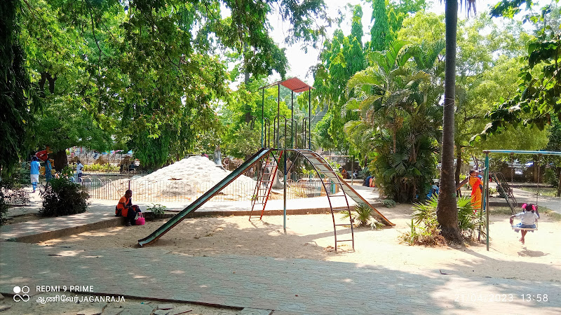
Cuddalore Corporation Subbhurayalu Park
Cuddalore Port Island
Find Accommodations Nearby
Recommended Tours & Activities
Visitor Reviews
There are no reviews yet. Be the first one to write one.
Share Your Experience
Have you visited Azhagiyanatham bridge? Help other travelers by leaving a review.