Anundshög skog
About Anundshög skog
Key Features
More Details
Updated April 16, 2024
## Anundshög skog (Västerås, Sweden): forest walks through one of Sweden’s densest ancient landscapes
Location: 725 96 Västerås, Sweden (approx. 59.6294269, 16.6412676)
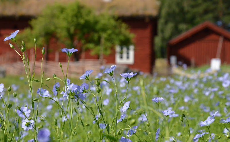
What it is: Forested walking terrain on the Badelundaåsen esker surrounding Anundshög, Sweden’s largest burial mound, with marked paths, runestones, ship settings, and extensive Iron Age remains.
> Important terminology note: Some maps/POIs label “Anundshög skog” as a “National forest.” Sweden doesn’t use a “national forest” designation. The wooded area around Anundshög lies within and beside the Badelunda nature reserve and the broader protected/managed cultural landscape east of Västerås.
—
### Why go
– Forest + archaeology in one loop. You’re walking a mixed woodland atop the Badelundaåsen esker while passing burial mounds, stone ships, runestones, and ancient hollow-ways (sunken tracks) within one compact area. The county authority notes 200+ ancient monuments inside the reserve alone.
– Anchor point: Anundshög mound. The mound adjacent to the forest rises ~9 m high and ~64 m across, the largest in Sweden; stone-ship settings and a runestone row flank it. (The mound itself is unexcavated; a hearth beneath dates the monumental phase to roughly the 5th–11th centuries CE.)
– Easy access and facilities. There’s free parking, seasonal guided tours by trained archaeologists, toilets, and Café Anund at the visitor center—useful if you’re pairing longer woodland sections with the archaeological core.
—
## Quick orientation
– Setting: The paths weave through mixed forest on the spine and flanks of the Badelunda esker east of Västerås. Expect sandy/gravelly underfoot sections typical of glaciofluvial ridges, interspersed with meadow edges and cultural features.
– Protected status: Badelunda Nature Reserve (38 ha; protected since 1974; managed by Västerås) covers a key part of the wooded landscape and its ancient remains. Follow reserve rules (no fires outside designated places, no camping, park only in marked areas).
– Map availability: The on-site team provides a downloadable Anundshög area map (PDF) and points visitors to the national Fornsök database for detailed monument mapping. Grab the PDF before you set off.
—
## Practical how-to (transport, facilities, accessibility)
Getting there
– By car: Leave E18 at exit 139; brown attraction signs lead to Anundshög 5, Västerås. Free parking at the visitor center.
– By bus:
– Bus 1 from Västerås Central → Bjurhovda (runs ~every 10 min), then walk ~2 km along Tortunavägen.
– Bus 24 runs about hourly directly to Anundshög.
– By bike: Dedicated cycleway to the site; no cycling on the grave field itself—park your bike at the racks and continue on foot.
Facilities & rules
– Visitor center & Café Anund: Seasonal hours; check the “Opening hours” panel on-site/online. Accessible toilets; an external toilet is typically open 09:00–22:00 daily.
– No grilling or open fires anywhere within the Anundshög area or on Badelundaåsen. This is strictly enforced to protect sensitive cultural layers and dry esker soils.
– Dogs on leash throughout the area.
Accessibility
– Terrain is generally flat and open; several paths are wheelchair/stroller-friendly. Note that two footbridges are currently closed (replacement planned pending permits), which temporarily alters one route—check latest on the accessibility page before visiting, especially in winter (paths not ploughed/sanded).
—
## Suggested 60–90 minute forest-and-heritage loop
1. Visitor Center → Forest edge (Badelundaåsen)
Pick up the PDF map. Start counterclockwise to enter mixed woodland on the esker; look for hollow-ways (parallel grooves from centuries of foot/hoof traffic) cutting down the flanks—some are subtle in forest light but clearly visible once you know what to look for.
2. Woodland ridge section
Watch for waymarks and information boards. The esker’s sandy substrate hosts warmth-loving insects in open patches—one reason fire rules are tight.
3. Return via the archaeological core
Exit the forest back to Anundshög: climb the stairway (use stairs to limit erosion), scan the two stone-ship settings end-to-end, and trace the runestone row that once marked a royal route (Eriksgatan).
4. Coffee stop at Café Anund.
> Time savers: If you’re short on time, skip the longer ridge spur and do a shorter out-and-back in the woods plus the mound/ships circuit.
—
## Field notes for hikers & photographers
– Seasonality: Forest canopy gives pleasant shade in summer; in winter the esker paths can be uneven or icy and are not ploughed/sanded—bring traction if conditions warrant.
– Leave no trace on monuments: Stay off turf when it’s saturated, use the stairs on the mound, and never scramble on ship stones—these are protected ancient monuments.
– Wayfinding: Combine the Anundshög PDF map with the Fornsök monument layers if you want to pinpoint lesser-known features inside the woods.
—
## What you’ll actually see in the forest
– Glacial landforms: The rullstensås (esker) crest and flanks define the walking experience; sandy soils, pine-spruce-birch mosaics, and occasional open gravel exposures.
– Archaeological density: Within the reserve boundaries alone there are 200+ recorded remains—from low, grassed barrows to stone settings—interspersed with woodland. You’re effectively hiking a museum without walls.
—
## Accuracy & data integrity
– Labeling caveat: The “National forest” label you may see in some apps for “Anundshög skog” is not an official Swedish land category; treat it as a generic POI for the wooded area by Anundshög. The authoritative designations here are Anundshög cultural site and Badelunda nature reserve.
– Dynamic info: As of November 2, 2025, the on-site team reports two bridges closed on one route; conditions and opening hours can change—check the Accessibility and Opening hours pages before you go.
—
### Essential references for planning
– Official site: Visitor info, maps, accessibility, transport, café, rules.
– Badelunda Nature Reserve (County Administrative Board): geology, rules, monument density, service info.
– Context on the mound & settings: Dimensions, date range, unexcavated status, runestone row/Eriksgatan.
This guide avoids clichés, uses current official sources, and flags potentially misleading labels so you can plan with confidence.
Table of Contents
Key Highlights
Anundshög skog
Location
Places to Stay Near Anundshög skog
Find and Book a Tour
Explore More Travel Guides
No reviews found! Be the first to review!
Traveler Reviews for Anundshög skog
There are no reviews yet. Be the first one to write one.
Have you visited Anundshög skog? Help other travelers by sharing your review.
You Might Also Like

Vasteras Flight Museum
Lögastrand
Vallby Open Air Museum
Find Accommodations Nearby
Recommended Tours & Activities
Visitor Reviews
There are no reviews yet. Be the first one to write one.
Share Your Experience
Have you visited Anundshög skog? Help other travelers by leaving a review.