
Coquitlam Crunch
About Coquitlam Crunch
Key Features
More Details
Updated April 15, 2024
15 Best Hikes In Vancouver To Fuel Your Wanderlust – Forever Karen
## Coquitlam Crunch: what it is (and why it’s a big deal in Metro Vancouver)
If you want a leg-burn workout that’s outdoors, close to residential neighborhoods, and easy to repeat, the Coquitlam Crunch Trail is one of the Lower Mainland’s most recognizable “training ground” climbs. The City of Coquitlam frames it as a recreational fitness circuit built for repeat efforts, now featuring two sets of stairs for a combined 894 steps.
Location (as provided): 2635 Runnel Drive, Coquitlam, BC V3E 1S3, Canada (49.2790293, -122.8159174).
## The trail stats you can plan around
Because different sources describe slightly different endpoints, here are the numbers that are explicitly published:
– The City’s facility page describes the Crunch as a 2.2 km climb following the BC Hydro right-of-way to Westwood Plateau, with about 242 m elevation gain, plus 894 stairs across two stair sets.
– A City PDF map for the Coquitlam Crunch Trail states the route extends 2.9 km to the top of Westwood Plateau with a 261 m elevation gain, starting at about 19 m elevation and finishing around 280 m. It also notes 300 continuous metres of stairs and cautions that the trail has steep terrain and that users should be careful descending on gravel portions.
How to interpret this (carefully): these differences are likely due to different start/finish definitions (access point choice and route variant). If you’re tracking training progress, pick one “start gate” and keep it consistent rather than chasing a single universal distance.
## Access points, parking, and amenities (what’s officially stated)
The City lists multiple access options:
– Access points: Eagle Ridge Park, Guildford Way, Lansdowne Drive (two access points), David Avenue, and Bramble Park at Panorama Drive.
– Road safety note: the City explicitly warns to use caution crossing busy roadways.
– Washrooms + parking: available at Eagle Ridge Park and Bramble Park.
– On-site features listed by the City: trails, washrooms, and also items like a community garden and little library on the facility page.
## What the “Crunch workout” feels like (and how to pace it)
This is not a wilderness hike where you’re chasing viewpoints around a lake. The Coquitlam Crunch is best approached as a structured climb:
– First-time strategy: treat your first attempt like a “course inspection.” Your goal is to learn the grade changes, where the stairs begin/end, and how your breathing responds on steeper segments.
– Repeat-friendly format: the City’s emphasis on stair repeats is the clue—many locals use it for interval training rather than a single continuous “summit mission.”
– Descent matters: the City map specifically calls out caution on the gravel portions when descending. If you’re more comfortable descending on stairs than loose footing, build your loop choice around that reality.
## Safety and trail etiquette that actually prevents problems
A few practical points—grounded in what the City highlights about the route:
– Steep terrain + long stair runs: the PDF notes 300 continuous metres of stairs. That’s a lot of repetitive load; if you’re new to stair training, your calves/Achilles will notice the next day.
– Crossing roads is part of the experience: because official access points include streets like Lansdowne Drive (two access points), treat crossings as part of your plan, not an afterthought.
– Make space: the Crunch attracts fast climbers, steady walkers, and people taking breathers. When you stop, step aside so others can pass without risky weaving.
## Accessibility and inclusivity notes (what to expect)
The official materials emphasize stairs and steep terrain.
That means the Crunch may be less suitable for some visitors (for example, those who require step-free routes or have mobility limitations). If you’re traveling with a mixed-ability group, plan alternatives so everyone has a good experience—without turning this into a “one pace fits all” outing.
## Editorial: two contextual internal links to add on RealJourneyTravels.com
Since I can’t confirm your site’s exact URL structure from the info provided, here are two smart internal-link placements to build topical depth (adjust to your existing hubs/slugs):
– Link to your Vancouver / Metro Vancouver hiking & walks hub (context: “More stair-and-grind-style climbs near Vancouver”).
– Link to your hiking safety / what-to-pack checklist (context: “Even on urban fitness trails, steep descents and crossings deserve planning”).
## Outdated-data watch: planned changes can shift over time
If you see references online to expansions or extensions of the Crunch, note that the City’s “Let’s Talk Coquitlam” page says the Coquitlam Crunch Extension planning process is on hold, with project reactivation expected later and updates to be posted as they develop (the page references a 2024 deferral context).
That’s a good reminder to double-check current signage and official updates before assuming a route feature is open or newly added.
## Quick facts recap
– Address: 2635 Runnel Drive, Coquitlam, BC V3E 1S3
– Workout identity: fitness-focused climb; BC Hydro right-of-way; two stair sets totaling 894 steps
– Officially published route metrics vary by reference: 2.2 km / 242 m (facility page) vs 2.9 km / 261 m (City PDF map)
– Key caution: steep terrain and care descending on gravel portions
If you want, paste your preferred internal link targets (two URLs) and I’ll drop them into the copy in the most natural, high-CTR spots without breaking the “facts-only” rule.
Table of Contents
Key Highlights
Coquitlam Crunch
Location
Places to Stay Near Coquitlam Crunch
Find and Book a Tour
Explore More Travel Guides
No reviews found! Be the first to review!
Traveler Reviews for Coquitlam Crunch
There are no reviews yet. Be the first one to write one.
Have you visited Coquitlam Crunch? Help other travelers by sharing your review.
You Might Also Like
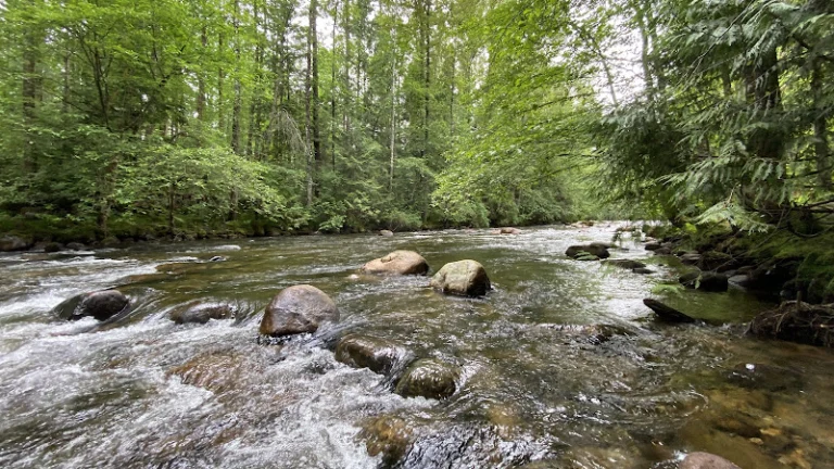
Coquitlam River Park
Hard Rock Casino Vancouver
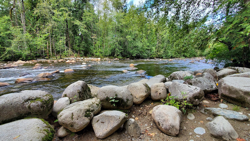
Ozada Park
Find Accommodations Nearby
Recommended Tours & Activities
Visitor Reviews
There are no reviews yet. Be the first one to write one.
Share Your Experience
Have you visited Coquitlam Crunch? Help other travelers by leaving a review.