
Higher Slack Brook Nature Reserve
About Higher Slack Brook Nature Reserve
Key Features
More Details
Updated June 11, 2025
Higher Slack Brook Nature Reserve © David Dixon cc-by-sa/2.0 …
## Higher Slack Brook Nature Reserve (Wardle, Rochdale): what it is and why it’s worth the detour
Higher Slack Brook Nature Reserve sits in the moorland-and-woodland landscape above Wardle, on the northern side of Watergrove Reservoir. It’s a small-but-memorable stretch of valley where a surfaced/boardwalk-style path and footbridges lead you through wet ground, young woodland, and alongside the brook itself—an easy way to get “up close” with the Watergrove landscape without committing to the longer, higher moorland loops.
Quick facts (from your listing + public sources)
– Name: Higher Slack Brook Nature Reserve
– Type: Nature preserve
– Address: Wardle, Rochdale OL12 9PN, United Kingdom
– Coordinates: 53.6633185, -2.139981 (provided)
– Context: The reserve is part of the Watergrove Reservoir and valley area, which has waymarked trails, a bird hide, and access links into the Pennine Bridleway network.
—
## What you’ll actually do here
### Walk the brook-side section as a “bonus loop”
The most distinctive part of Higher Slack Brook Nature Reserve is the brook-side path (often shown with boardwalk and a small footbridge in photos), which gives you a different feel from the open reservoir shoreline.
A practical, well-described way to experience it (without guessing routes) is the Watergrove area’s signed/waymarked network:
– Watergrove Trail: described as 2 miles following the reservoir shoreline; allow ~1 hour 30 minutes. Birding
– Hades Trail: described as 4 miles up-valley (not onto the ridge); allow ~4 hours. Birding
– A suggested variant in the Watergrove site guide: follow the Hades Trail to the Steward Barn ruin area, then fork down to Higher Slack Brook Nature Reserve, follow the brook back to the reservoir, and rejoin the shoreline trail (listed as ~3 miles / ~2 hours). Birding
If you’re choosing one “best value” option for first-timers, that last variant is the most efficient way to include the reserve as part of a loop rather than an out-and-back. Birding
—
## How to get there (and the thing that trips people up)
### Driving + parking
The Watergrove trail map (published by United Utilities, which owns the land) notes:
– Free parking
– Open all day, every day
– A key-access disabled car park is available by contacting the number on the map
Important detail: the map explicitly warns that the postcode may lead you to the village rather than the reservoir, and advises continuing up the cobblestone road to reach the car park at the top.
That’s unusually honest signage guidance—and it’s exactly the kind of small friction point that can waste time if you don’t know it in advance.
### Public transport
Two separate sources mention bus service options into Wardle:
– United Utilities map: 456 Lakeline bus to Wardle village, then ~10-minute walk to the car park.
– Visit Rochdale: bus services 456 and 458 to Wardle village, then a walk to Watergrove. Rochdale
– A Watergrove birding site guide (dated September 2006) references train to Smithy Bridge + bus services 456/458. Birding
Outdated-data flag: the detailed public-transport notes in the birding PDF are from 2006 and may no longer reflect current routes/operators/timetables. Use it for route logic, not schedule certainty. Birding
—
## Accessibility, facilities, and what not to assume
On-the-ground amenities are best taken from the official destination listing (rather than review sites):
– Free admission
– Picnic site
– Toilets
– On-site free parking
– Guide dogs permitted
– Parking for disabled visitors Rochdale
The United Utilities map also highlights a wheelchair-accessible route in the Watergrove area (separate from claiming every section of the nature reserve is step-free).
Accuracy note: I’m not assuming the entire reserve is wheelchair-accessible—only that there is a designated accessible route in the wider Watergrove trail network.
—
## What makes this area interesting beyond “nice scenery”
### A landscape with multiple habitat types (good for nature-spotting)
Visit Rochdale describes the Watergrove area as a mosaic of moorland, young woodland, wetland, rough pasture, and the reservoir—which is why it’s often recommended for birdwatching and general wildlife interest. Rochdale
### A bird hide and established birding interest
The United Utilities map marks a bird hide at Watergrove, and a dedicated Watergrove site guide is explicitly written to encourage birdwatching visits.
I’m not going to claim specific species in Higher Slack Brook Nature Reserve (that would be too granular without a source tied to the reserve itself), but it’s factual that the wider reservoir-and-valley complex is documented and promoted for birding. Birding
—
## A practical “do this, not that” checklist
### Do
– Use the reserve as part of a loop, not a standalone destination, if you want the best payoff for time. Birding
– Follow waymarked routes in the Watergrove area—multiple sources describe established trails and access points.
– Bring footwear for wet ground (the reserve is strongly associated with brook-side paths and wetland context). This is common-sense inference from the habitat type and photos, not a claim of conditions year-round. Rochdale
### Don’t
– Don’t rely on the postcode alone to land you at the reservoir car park.
– Don’t treat older PDFs as proof of current transport services or phone numbers. (Use them as orientation.) Birding
—
## Nearby pairing ideas (staying strictly factual)
– Watergrove Reservoir shoreline trails (explicitly described with walking trails and facilities). Rochdale
– Brown Wardle Hill / upper Wardle valley walking routes exist from the reservoir area (multiple walking-route references describe this as a common next step). Britain
—
## Two contextual internal-link placements (so you can wire this into RealJourneyTravels.com)
I can’t claim which URLs already exist on your site, so here are two safe, contextual placements you can link to pages you do have:
1. In your “How to get there” section: link the phrase “best day trips from Manchester (without a car)” to your most relevant Manchester/Greater Manchester transport guide (or a UK rail/bus explainer).
2. In your “Nearby pairing ideas” section: link “great easy reservoir walks in the UK” to an internal roundup page (lakeside walks, accessible nature walks, or “best walks near Manchester”).
—
## At-a-glance details for your CMS
– Place: Higher Slack Brook Nature Reserve
– City/area: Rochdale (Wardle)
– Address: Wardle, Rochdale OL12 9PN, UK
– Coordinates: 53.6633185, -2.139981 (provided)
– Best known for: Brook-side nature reserve section within the Watergrove Reservoir trail network
If you want, paste your standard RealJourneyTravels.com template blocks (FAQ schema questions, “getting there” snippet format, CTA modules), and I’ll slot this into your exact layout without adding anything speculative.
Table of Contents
Key Highlights
Higher Slack Brook Nature Reserve
Location
Places to Stay Near Higher Slack Brook Nature Reserve"Well worth a visit while your exploring watergrove or brown wardle"
Find and Book a Tour
Explore More Travel Guides
No reviews found! Be the first to review!
Traveler Reviews for Higher Slack Brook Nature Reserve
There are no reviews yet. Be the first one to write one.
Have you visited Higher Slack Brook Nature Reserve? Help other travelers by sharing your review.
You Might Also Like
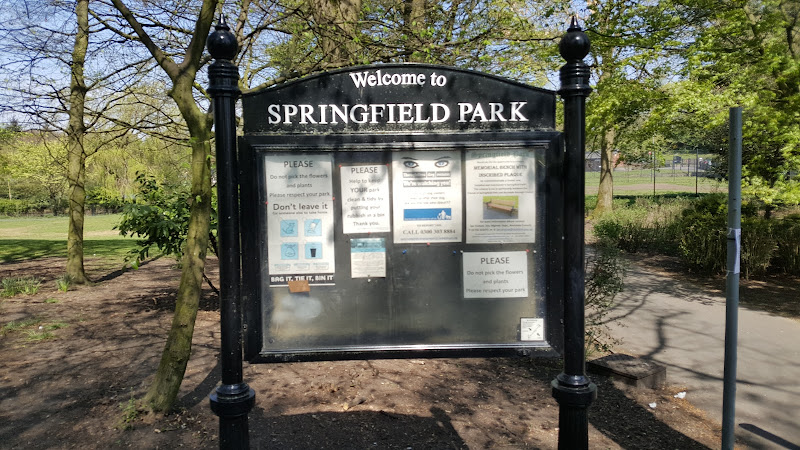
Springfield Park
Attractions
Healey Dell Nature Reserve
Find Accommodations Nearby
Recommended Tours & Activities
Visitor Reviews
There are no reviews yet. Be the first one to write one.
Share Your Experience
Have you visited Higher Slack Brook Nature Reserve? Help other travelers by leaving a review.