Estero de las lanchas
About Estero de las lanchas
Key Features
More Details
Updated April 15, 2024
## Estero de las Lanchas (La Paz, Baja California Sur): a practical guide to a low-key coastal wetland
If you’re looking for a calmer, nature-first slice of the La Paz shoreline—one that’s more about water, birds, and quiet channels than “big-ticket” beaches—Estero de las Lanchas is worth putting on your map. The name shows up locally in the context of paddling routes and small-boat access around the La Paz bay area, including trips that explicitly mention “el estero de las Lanchas” alongside nearby mangrove zones.
### Quick facts (from your dataset)
– Place: Estero de las lanchas
– Location: La Paz, Baja California Sur, Mexico (postal code 23205)
– Coordinates: 24.1570624, -110.3463672
– Rating: 4.5
– Type: Tourist attraction
—
## What it is (and why it matters)
An estero in Baja California Sur typically refers to a coastal inlet/wetland system influenced by tides—often associated with mangroves, mudflats, and shallow channels. In the La Paz bay region, these habitats are not just “scenic”: they function as nursery areas for marine life and important habitat for birds.
Just across the water from the city sits El Mogote, a sandy barrier peninsula that helps define the bay’s coastal lagoon/wetland system; its southern edge includes mangrove areas recognized for ecological importance.
More broadly, this coastal complex is formally recognized as Humedales Mogote – Ensenada de La Paz, designated as a Ramsar Wetland of International Importance. Ramsar documentation describes it as a coastal lagoon system separated from La Paz Bay by the sandy barrier of El Mogote. Sites Information Service
What to take from that as a visitor: you’re not just passing through “pretty water.” You’re in/near a wetland system that’s treated as globally significant habitat—so your impact (noise, trash, wakes, wildlife disturbance) matters more than it would on an ordinary urban waterfront. Sites Information Service
—
## What to do at Estero de las Lanchas
### 1) Paddle it (kayak or SUP) for the best experience
Local outfitters and guides promote routes that include mangrove paddling in the La Paz bay area, and “estero de las Lanchas” is specifically referenced as part of that kind of experience.
If your goal is wildlife and silence, human-powered travel is the right match: shallow channels + mangroves reward slow movement and patience.
Practical approach
– Go early for calmer conditions and more bird activity (general field practice for wetlands; not a site-specific guarantee).
– Treat it like a leave-no-trace water trail: anything that falls in can become habitat-scale pollution.
### 2) Birding and nature photography (with “wetland rules”)
Mangrove and wetland edges around La Paz are well known as bird habitat, including migratory species (Ramsar documentation highlights the importance of these wetlands for birds). Sites Information Service
Ethical shooting tips that actually help
– Keep distance; don’t push birds to flush—repeated flushing burns energy reserves, especially for migrants.
– Avoid drones unless you’re certain they’re allowed and you can operate without harassing wildlife (rules vary, and enforcement can change).
### 3) Use it as a “quiet alternative” day when the bay is busy
When headline beaches and boat trips are packed, an estero-style outing is often a better fit for:
– families who want a lower-stimulus nature break,
– travelers with mobility/energy limits who still want outdoor time,
– anyone craving a break from high-wake boat traffic (when present).
—
## Getting oriented: how it fits into the La Paz / El Centenario area
Your pin (postal 23205) corresponds to the El Centenario area within La Paz municipality. El Centenario is documented as a coastal town/suburb in La Paz municipality.
That matters because it frames your planning:
– You’re not targeting “downtown Malecón strolling” logistics.
– You’re planning around coastal access, wind, and tidal conditions typical of bay-edge wetlands.
—
## Safety + environmental considerations you should not ignore
### Tides and shallow-water realities
Esteros are tide-influenced. That usually means:
– channels can be navigable at one time and frustratingly shallow later,
– mudflats can trap feet/shoes and make rescues harder than people expect.
Actionable move: check a local La Paz tide table the day you go (don’t guess; timing matters).
### Wind is a real factor in La Paz bay
La Paz is widely known for afternoon winds in the region; even within the broader municipality, wind can shape paddling safety (El Centenario references mention local wind phenomena and regional climate patterns).
If you’re paddling, plan for an out-and-back that doesn’t force you to fight headwinds late.
### Respect protected habitat norms (even when signage is minimal)
Because the wetland system is recognized under Ramsar and tracked in global protected-area databases, treat it like a “soft protected area”: you may not see gates, but the ecological expectations still apply. Sites Information Service
Do
– pack out everything (including food scraps),
– keep noise down,
– keep distance from roosting birds.
Don’t
– drive or walk onto sensitive muddy edges if it’s clearly functioning habitat,
– assume boat wakes are harmless—wake erosion is a real shoreline stressor.
—
## Best time to go (what we can say with confidence)
I can’t responsibly claim a single “best month” for Estero de las Lanchas without a site-specific seasonal source. What is supported is that the broader wetland system is significant for birdlife, including migratory presence in the region’s mangrove/wetland habitats. Sites Information Service
Practical workaround: if your goal is birds, prioritize early morning and bring binoculars; if your goal is paddling ease, prioritize lighter wind windows and align with tides.
—
## Internal link ideas (only if these pages exist on your site)
Because you asked for internal links but also required strict factual-only output, here are conditional placements you can swap in if RealJourneyTravels.com has these guides:
– Link from the first section: La Paz travel guide (e.g., /la-paz-baja-california-sur/)
– Link from planning/safety: Baja California Sur itinerary (e.g., /baja-california-sur-itinerary/)
—
## Outdated-data / verification flags (important)
– Ramsar site documentation for Humedales Mogote – Ensenada de La Paz is listed with a designation date (2008) and should be treated as authoritative for designation, but local access rules, boundaries, and on-the-ground conditions can change—verify current guidance locally before assuming access points or permitted activities. Sites Information Service
– Any tour descriptions (Tripadvisor/GetYourGuide/Instagram) reflect operator marketing and may change frequently; use them for orientation, not as fixed facts about conditions.
If you want, I can also write a tight FAQ block + “Know before you go” checklist for this post (tides, wind, footwear, paddling etiquette), staying within verifiable claims only.
Table of Contents
Key Highlights
Estero de las lanchas
Location
Places to Stay Near Estero de las lanchas
Find and Book a Tour
Explore More Travel Guides
No reviews found! Be the first to review!
Traveler Reviews for Estero de las lanchas
There are no reviews yet. Be the first one to write one.
Have you visited Estero de las lanchas? Help other travelers by sharing your review.
You Might Also Like
Baja Expeditions
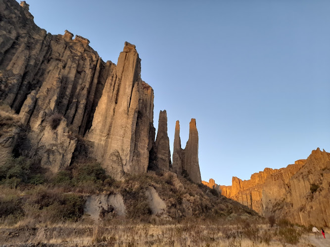
Valle De Las Animas
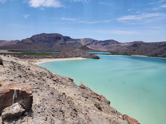
Playa Balandra
Find Accommodations Nearby
Recommended Tours & Activities
Visitor Reviews
There are no reviews yet. Be the first one to write one.
Share Your Experience
Have you visited Estero de las lanchas? Help other travelers by leaving a review.